
Our Photography Trips > 2018 Fall: American Southwest
Trip Photos
Our Photography Trips > 2018 Fall: American Southwest
Last five posts for this trip
Featured


While at Snow Canyon we had to figure out the very last part of our trip. We had an extra day on the schedule because we’d moved the two nights of camping and day trip to Yant Flat up in the schedule, so now there was a gap to be filled. I tossed out doing Yant Flat again, or Cathedral Gorge in Nevada again, or stopping by the Alvord Desert in Oregon. None of those options seemed quite right. Then Ann said, “What if we headed the other direction, towards California? Death Valley?” I replied, “No, I’d like to do more than just a day there.” “Well what about Yosemite? Do you think the Tioga Road is still open?” We checked on the internet and it was. Our route home was settled.
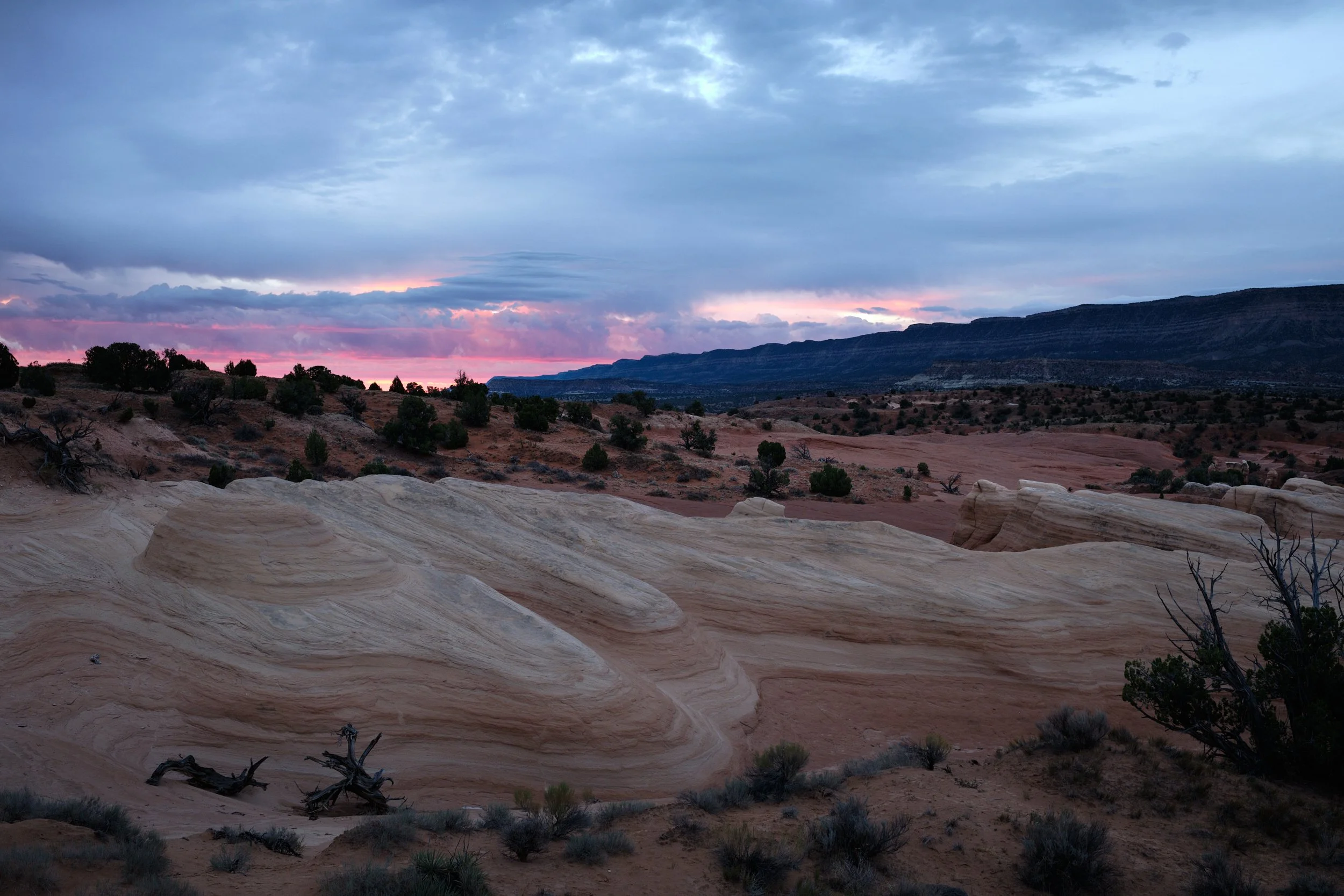
We took our time upon arriving at Snow Canyon because we had plenty of time there, right? We slowly checked out potential photo locations on the drive in, checked into our campsite, took showers, and had a late lunch/early dinner. We even took an exploratory hike, without our camera backpacks to check out a potential morning photo location. All was going fine until I started feeling aches in my joints. . . . Not again!
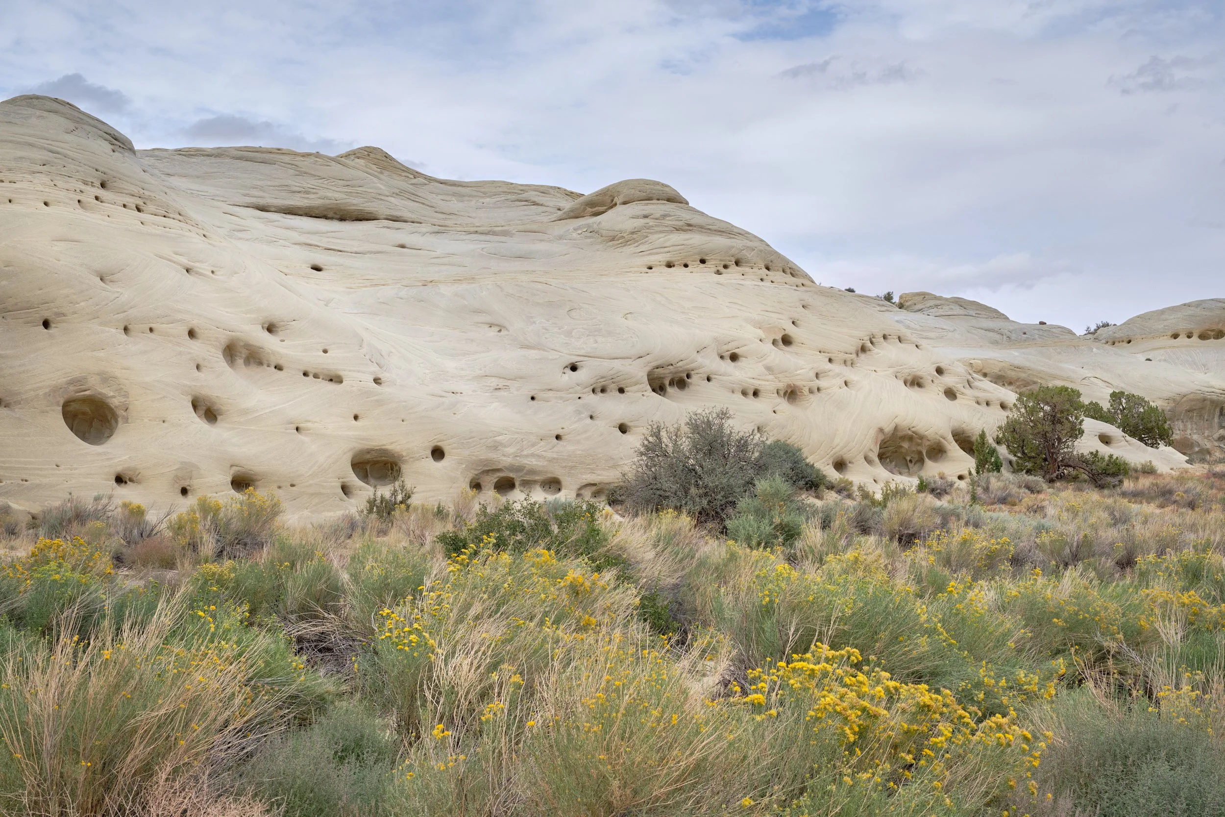
About 6 months before our trip, I got an e-mail from Ann asking, “Have you ever heard of Candyland?” She’d been sending me possible locations to stop at on our trip and, at first, I thought this was just another one that we’d check out, put on a list and not think much more about once we’d given it a good look. But that night as I was making dinner, Ann pulled up the website where she’d seen images and I realized that this place was a bit different. “Where is it?” “Apparently somewhere near St. George, Utah.” “We should check it out.”
The next morning I woke with excitement flowing through my veins. We had decided that, while on our way to Fire Point, we would take the long down-and-back detour to Point Sublime. And while the main road to Fire Point was a fairly good Forest Service road, the road to Point Sublime wasn’t - the Kanabownits Road is listed as a 4WD road on the maps, even worse than a high clearance road, and we were warned that it lived up to its rating. I was going to get to do some technical driving! Just not where we’d planned.
On our excursion to Point Sublime in Grand Canyon National Park, we unfortunately arrived in the worst part of the day - it was nearly noon. Plus it was a very hazy day. And while the view was, for lack of a better word, sublime, and the clouds were offering a dance of sunlight across the landscape, the conditions were not exceptional for photography. This was not going to be one of those instances where one could simply pick up the camera and make knock-out images, and we could not wait until sunset to make photographs. So, after waking around the point a while and examining what was being offered to me, I decided that I was going to be very intentional with my image making, and would develop each image I made from Point Sublime to completion (read: to print). In some ways it was a test of how discriminating I could be if I tried to hold myself to the highest standards possible. I wound up making three images.