Iceland Trip Part 4 - Northern Iceland
We woke up the next morning to clouds and a bad forecast for the day.
Knowing that at some point the weather was going to turn, we packed the vehicle and headed up the valley to take the long way around.
Ólafsfjör∂ur is famous for being one end of the very long Ólafsfjör∂ur - Siglufjör∂ur road 76 tunnel that cuts through the tip of the peninsula. We, however, opted to take the longer 802 road around the mountains.
Our research indicated that it was a lovely drive with multiple stopping places and a particularly lovely view as you crossed the mountains from one valley to another. Our first stop was at a clearly marked waterfall. And no, I cannot say that name three times quickly.
We hiked up the trail a ways before deciding that a more distant view offered the better photograph. So we turned around, backtracking to make the image.
Then we headed onward up the valley.
A few miles later, we stopped again, this time at a dirt pull-out and hiked back to take a photograph of a waterfall we’d seen from the road.
We explored the area a bit further and made several photographs on both sides of the road.
As we packed our gear, it started raining. So we headed up the road, only to see the bike camping family slowly pedaling their way up the mountain in the rain. They’re heartier than we are.
When we hit the crossover with the supposed lovely view, there wasn’t much to see but cloud. And conditions worsened as we drove down the western side of the mountains.
It was unfortunate because there were several good places to stop (for once), but the weather wasn’t cooperating, obscuring the views in a very frustrating manner (for a photographer).
So we drove onward towards the coast.
We decided that the weather was going to dictate our exploration for the day and that would probably be best done in Siglufjör∂ur. There, after walking around the town a bit, we decided to eat at the Herring Restaurant right next to the Herring Museum. Guess what all the main meals consisted of on the menu? For herring, though rich, it wasn’t bad (though I’d hate to have bad herring because these folks probably do herring better than any other place that might have it on the menu).
As you might suspect, Siglufjör∂ur is a fishing town. And like so many of these fjord towns, is surrounded by beautiful mountains.
After lunch, we retraced our route a bit and headed southward along the coast with the weather still generally uncooperative.
Our camping plans for the night were a bust. I’d found a site deep in one of the off-shoot valleys in a town called Hólar. Unfortunately, the camping spots were in a densely wooded area where the branches were much lower than the bimobil. So we retreated a bit and spent the night in Hofsós. That wasn’t so bad because that campground was not far from one of the sites I wanted to see (and we had passed on the way to Hólar) - Grafarkirkja. The campground was a an open field that had become, in a word, a bog due to the rain. It was no problem for the bimobil (once I locked the center differential and drove with what Tom Sheppard calls a sympathetic right foot). Other motorhomes slip and slid around. And I did have to help with some other (much younger) guys push a van out of the mud.
Grafarjkirkja is one of the oldest turf churches in Iceland. The next morning it was shrouded in fog.
At least it wasn’t raining! So you work with what you have and make the best images you can. It was an interesting church, and while we couldn’t go into it, we were permitted to walk around it and see it up close.
My plan for the day was to bypass the next peninsula to the west and head over to catch a couple of locations I thought would be interesting. The first required a bit of dirt road travel (again, not F-roads). Borgarvirki was a natural defensive fortification used by the Vikings many years ago.
It’s a basalt formation that formed into a castle shape, with an interior area for people to gather and natural ramps and wide walls suitable for defense.
From the top, you can see the type of views it offered.
In pretty much every direction.
Our next stop was . . . a bust. I had wanted to visit Hvitserkur, a giant elephant-looking rock on the shore north of Borgarvirki. Not only was the parking lot jam packed with vehicles (a common occurrence at popular destinations), the steep drive down to the parking lot was lined with cars, as was the side of the roadway around the entrance, and the cafe just down the road. It was all I could do to turn the bimobil around and get the hell out of Dodge. We opted for a pleasant drive to the other side of the peninsula and a nice quiet campground in Hvammstangi.
The next day I’d planned a stop at Kolvgljúfur canyon and water falls. While we weren’t alone there, it was much more off the beaten path and actually allowed us to wander around bait. The canyon was interesting, . . .
. . . as were the falls.
After the hike back to the car we headed towards our camping destination for the next couple of nights - Varmahli∂ - with no set agenda. The drive through the mountains and valleys was beautiful and we made a couple of stops at pull-outs just to enjoy the scenery.
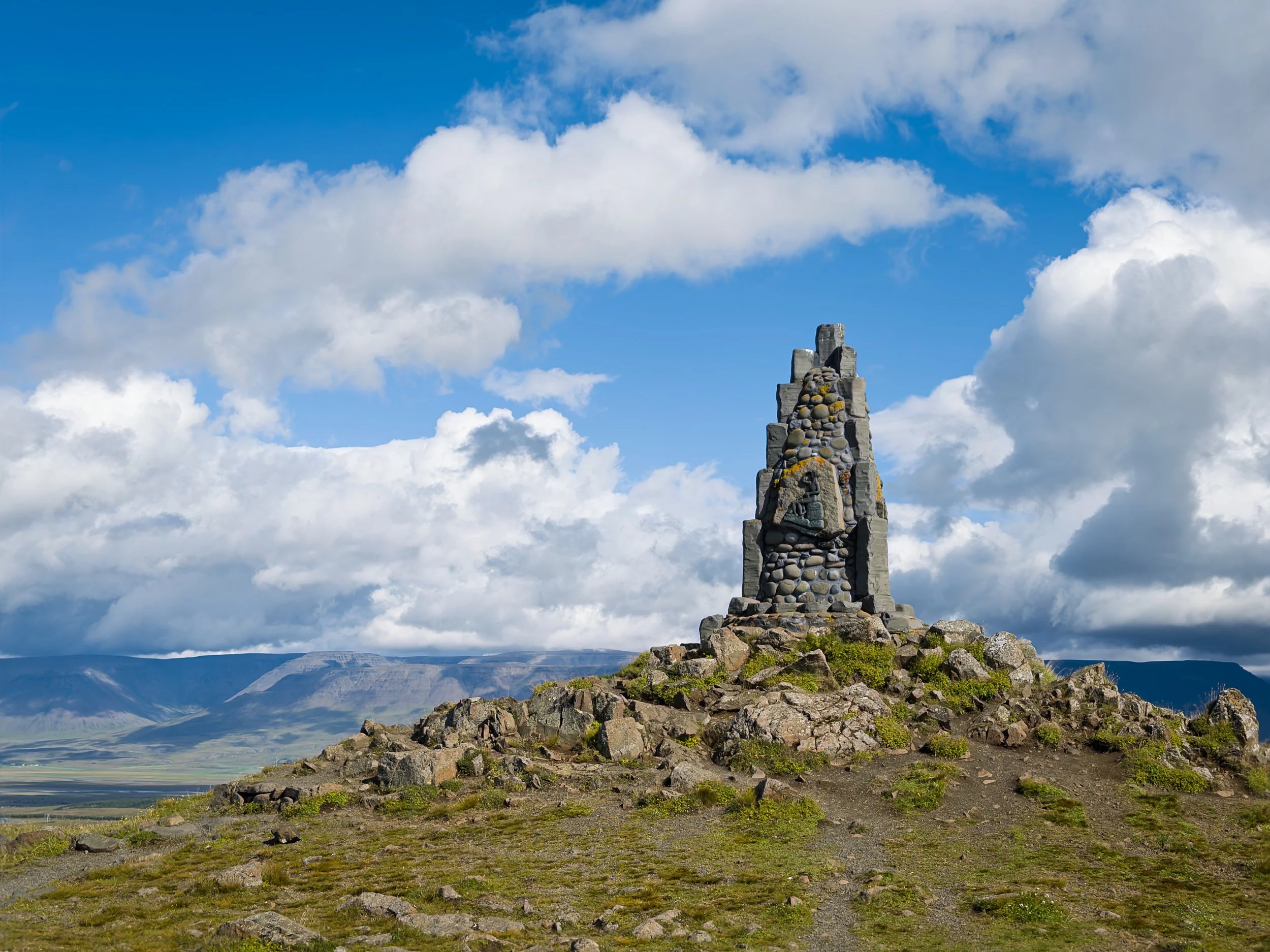
At one point I saw a pull out with a larger parking area and decided to pull over. Not only was it a rest area, but it was also a historic site - Þrístapar - the location of Iceland’s last execution on 12 January 1830.
Throughout the site there were markers explaining how Fri∂rid Sigur∂son and Agnes Magnúsdóttir were put to death for murdering a farmer who was, by all accounts, horrible to his indentured servants. It was a pretty gruesome story in all respects. As were the two pikes that Fri∂rid’s and Agnes’ head had been displayed on.
Afterwards we kept on driving, enjoying the beautiful landscape and appreciating the fact that we still had our heads.
Later on, we came across yet another road-side marker. This one was not so horrible and was instead dedicated to an Icelandic writer who had emigrated to Canada, lived in the US awhile, and then moved back to Canada.
The next morning turned gloomy again and we hiked out to yet another waterfall - Reykjafoss. This one had a longer hike (which we took) that led to a geothermal pool (which we did not dip into). As we were walking back to our car, it seemed as if more people were coming for the hot springs (evident by the beach towels in their arms) than for the waterfall.
We decided we would drive up the west side of the peninsula we’d bypassed a couple of days earlier to see what that was like. I’d read about some interesting basalt formations by a lighthouse that I thought might be interesting to see.
But as we drove northward, the skies became increasingly ominous.
By the time we got to the Kálfshamarsvik lighthouse, it had grown cold and very windy with scattered showers.
We took a walk to and around the lighthouse and under better conditions would have stayed longer. But the wind velocity was seemingly increasing by the minute. When we got back to the bimobil I pulled out my phone to check the weather app only to find that a wind warning had been issued for the entire area. Not good when you’re driving something as big as the bimobil. So we headed back (very carefully), fortunate to be driving head-on to the wind most of the way.
The next morning, the wind had died down. The beautiful morning light hinted at clearing skies somewhere.
The weather app showed two fronts were engaging in a battle overhead and it was obvious that was the case from the skies as we drove eastward to explore the inner part of the peninsula.
By the time we’d crossed over into another valley, the battle of the fronts was over and everything started to clear. We drove through Tröllaskagi, a glacier valley impressive in its width.
The landscape was striking and, while I didn’t know it at the time, we would be driving past this feature and then back up the valley on the other side.
That valley was another glacial valley lined with farms.
One of my guide books mentioned this set of falls, and another set in the forested area beyond. While we hiked about half a mile into it, the directions were so vague and there was no sign of an obvious trail that we decided it was better to turn around instead of get lost in the woods.
Still, on the way out I decided to stop at a sheep herding stocks and farm structure for one final image.
While we were disappointed about the hike, we couldn’t complain about the weather that day and the beautiful drive back to Varmahli∂.
That evening we got ready for the next leg of our adventure - starting the drive down F35 through the center of Iceland and our stay at Kerlingarfjöll.