Iceland Trip Part 3 - Off-Road Adventure
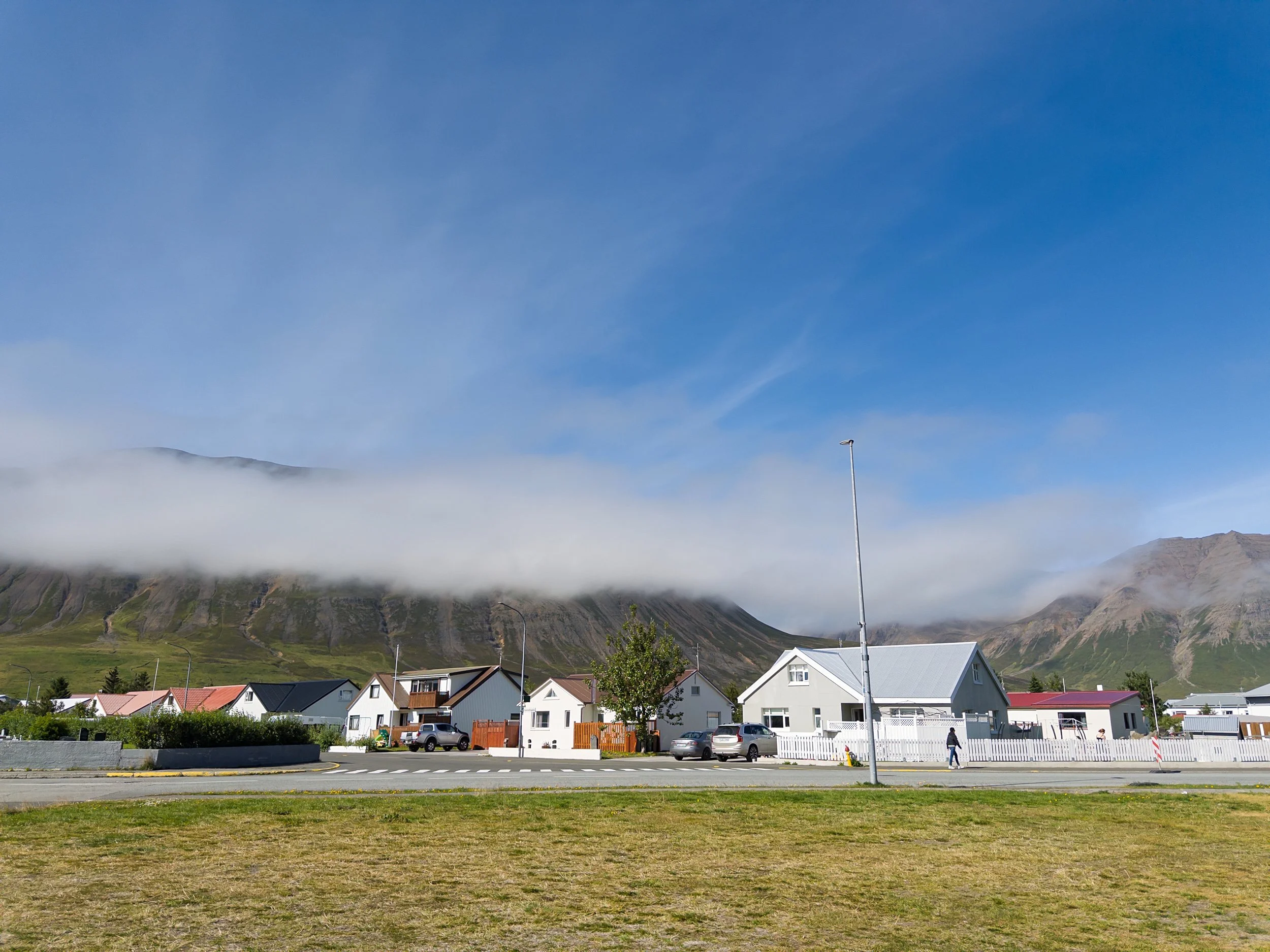
Our decision to ride out the bad weather in Akureyri was a strategic one - the city lies at the base of the peninsula where we had planned our first real off-road adventure. We got up early and headed north along the east side of the fjord a dozen or so miles and stopped at a pull-out just before crossing the bridge across the Fnjóská river and and taking an immediate right turn onto the unpaved and insanely named Fnjóskadalsvegur eystri road that would lead to our starting point. Unlike the F-roads, that road, while a dirt and gravel road, is a formal, maintained road and was plenty wide for two vehicles.
The same cannot be said about F899. After crossing through a closed gate (which we closed again) and the obligatory lengthy warning signs, F899 had one final set of signs to warn drivers, yet again, that you shouldn’t head down the road in anything other than a 4x4.
The first part of the drive really wasn’t too bad (ok, none of it really was). We were still at slight elevation and had some beautiful views of areas that are worked with farms and the ubiquitous sheep (there are more sheep than residents in Iceland . . . by a factor of 2 (or more)).
While rocky, the road was well worn and didn’t give the bimobil any problems. As is warranted on these types of tracks, I’d locked the center differential to ensure even power to the front and rear wheels and driving up and down the hills posed no problems.
After crossing a few shallow streams, we came across our first real water crossing. You can see why I wasn’t looking forward to going down this track when there were heavy rains.
The concept for crossing waterways is rather simple, you want to know what you’re driving on and over. You need to know that it’s not too deep, no deep holes, no big rocks - you want to make sure you get across and do not damage your rig. The protocol is just as simple - if you can’t see the bottom of the riverbed from the vehicle, stop and get out and visually inspect the route you’re going to drive (there are tips at identifying which is the best path to take (hint: drive as near to the riffles as you can)). If you can’t see the bottom of the water way - walk through the river and check for boulders/holes. I’d purchased a set of neoprene and rubber soled fishing shoes for the latter and had my trekking poles next to them behind my seat.
Fortunately, I never had to actually walk through the river. Thank goodness for clean flowing streams.
Eventually, and quite dramatically, we dropped from the upper elevated valley to the lower portion of the valley.
I had been aware of this spot having seen it on a video of this route and . . . intentionally did not mention it to Ann. She was none too pleased with the exposed decent, but agreed it was probably better to not have known about it before-hand.
And that’s how it went, uphill and downhill, crossing one stream after another as we made our way down the valley to the coast. I’d lock the rear differential for better traction control before every climb, and engage a low gear for each descent.
Sometimes the river crossings came in spurts,
other times we’d go some ways before a water crossing.
At one point, the river bottom became the road for about a quarter mile. Slow and steady was the approach.
Just when we were feeling like the only people on the planet, we saw a set of headlights coming our way. You’re never all alone in Iceland. F899 is an out-and-back trip, so at some point we knew we would hit oncoming traffic.
While we were focused on making sure we got to our destination, we did slow down to check out some sights along the way. Another good reason to drive slowly!
And, naturally, we encountered an Icelandic traffic jam. One of many we had throughout our travels.
About 24 kilometers after we started, we were there!
Just around the time we arrived in the area designated for campers, it started raining. Still, it didn’t hurt our view much.
We weren’t alone in the camping area. A German couple had their rig set up by the headland (buffeted quite a bit by the wind), and a couple of vehicles that were there when we arrived departed. At one point a tour bus, of all things, drove up, let folks wander around for half an hour in the rain, then headed off again. And late in the evening, three overlanding vehicles (two towing trailers) set up camp about 100 meters away from us on an oddly sloped area that we’d rejected as unsuitable for a good night’s sleep. The guys were pretty young so they probably didn’t care much about the slope. We prefer a nice level spot to spend the night. Our campsite was sheltered somewhat, but we were still buffeted by the wind and rain throughout the night.
After dinner, we went out between rain showers to scout for morning photographs (weather forecast: clearing overnight). The few pictures we took were bleak and we retreated when the rains started up again.
The next morning was true to the forecast.
We got up early and out before sunrise to take advantage of pre-dawn light. To the north, you could see the front that had passed during the night, as well as a couple of vehicles camped on the stone beach (an option not available for us given our weight . . . I’m talking vehicle weight).
To the southwest were the mountains that rise in the middle of the peninsula as well as a full moon.
Ann and I had a lovely morning photographing in the pre-dawn light. And once we were satisfied, we headed back inside for breakfast and preparing for our return journey.
When we stepped out of the bimobil to get ready to leave though, we realized the sun-lit morning was offering us a different range of images, so instead of packing up to leave, we pulled out our cameras again.
Eventually though, the light became harsh and it was time for us to head back.
As it does, the drive back seemed to go much more quicker than the drive out - though it was no less beautiful. I guess that’s due, at least in part, to the fact that we didn’t have to stop as much to inspect the road conditions in the streams (we knew they were good), though the water levels were measurably higher than the day before as a result of the heavy rain we’d gotten that night. We somehow even managed to miss a couple of locations we thought we would hit on the way out - different direction, different view I guess.
And yes, that one climb was a bit nerve wracking once we started driving up it (it was nothing for the bimobil).
We pulled over once we got to the top because it presented such a spectacular view.
As we retraced our route back towards Akuryeri, we could see the mountains on the other side of the fjord, near where we were planning to spend the evening.
The drive to Ólafsfjör∂ur was beautifully uneventful. As we approached Dalvik, we noticed three bicycle campers - a youngish couple with a child (maybe 12) riding along with panniers and backpacks loaded with camping gear. They were not the first or only bike campers we saw during our travels in Iceland.
Ólafsfjör∂ur’s town-run campground was, like in many places, right next to the town’s swimming pool (almost every town has an indoor swimming pool). It also happened to be next to the town’s frisbee golf course (again, a staple in most towns) and the town’s . . . ski jump (not a staple in most towns).
It had been a lovely couple of days almost all by ourselves and an amazing drive down F899. Next on the itinerary was to explore as much of Northern Iceland as we could manage over the next several days.