Terrell Brothers Roadtrip, First Half
Dan and Len left Phoenix in their Sprinter 4x4 rental on April 20th, heading north towards Utah. He asked me to post some of the early photos from the first half of the trip. Enjoy!
The solid blue line on the map shows the path travelled (by car or hike). Red flags indicate the main “waypoints” set ahead of time, for turning points in the road, potential photography locations or places to camp for the night. The small map clusters and the standalone red flags indicate places they have not yet been.
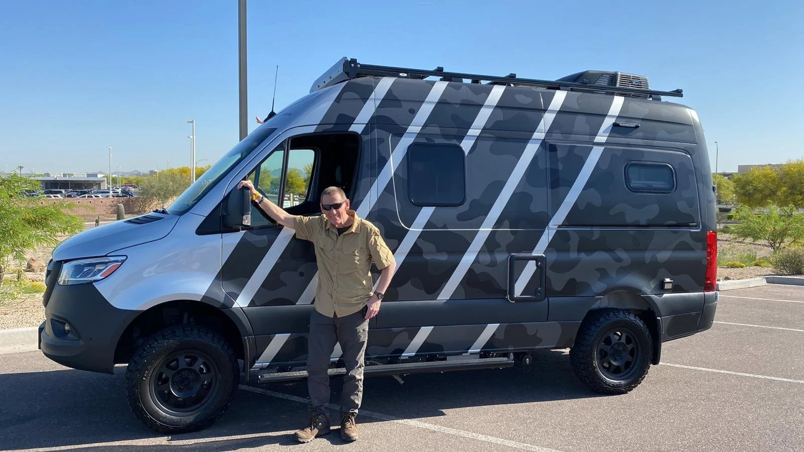
April 20th. Picking up the van. Not bad for a rental!
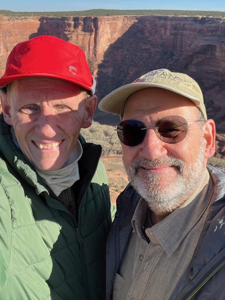
April 21st. First morning at Canyon de Chelly. Don’t these boys look happy?
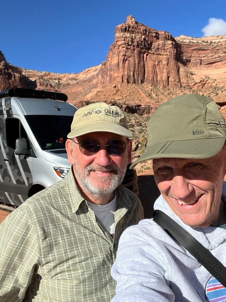
Dan will tell you the whole story of the following photo in a future post - but the short version is: this selfie is taken after they finished crawling down that cliff seen in the background. This trail is not one that would have been fun for me. So glad that you stepped up to the plate, Len!
So without further explanation, here’s a sampling of the places photographed so far. I think you’ll agree, these are beautiful! I can’t wait for more!
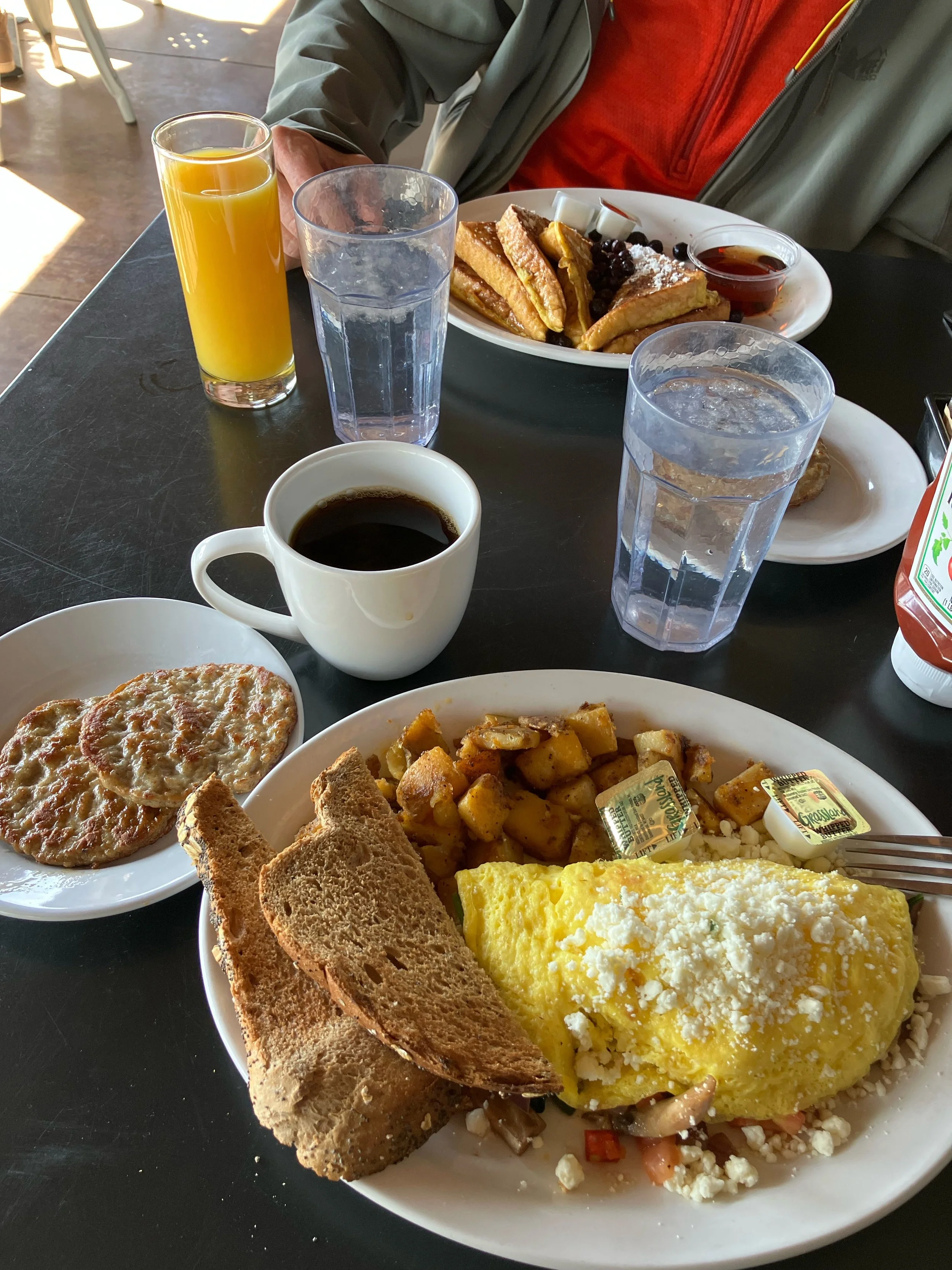
And finally, no trip is complete without the good eats along the way!